
Discover Arizona’s highest summit with our comprehensive hiking guide to Humphreys Peak. Whether you’re planning your first ascent or seeking insider tips for this challenging adventure, learn everything from trail conditions to seasonal considerations for conquering this iconic 12,633-foot mountain.
Key Takeaways
- Humphreys Peak stands at 12,633 feet as Arizona’s highest point
- The challenging 9-mile roundtrip hike gains 3,333 feet of elevation
- Best hiking seasons are late spring and early fall to avoid monsoon storms
- Start early (before 8 AM) to avoid afternoon lightning risks
- Prepare for rapid weather changes and significantly colder temperatures at the summit
- The trailhead begins at Arizona Snowbowl, with paved roads for easy access
How Difficult Is Hiking Humphreys Peak For First-Time Climbers?
{The thin air and 3,333 ft elevation gain make Humphreys Peak challenging even for experienced hikers}.
Humphreys Peak presents a strenuous challenge for first-timers due to its steep elevation gain and thin air starting at 9,200 feet. Most hikers should plan for a full day (6-8 hours) and prepare for both physical exertion and potential altitude-related breathing difficulties.
The Geological Wonder
Humphreys Peak stands as a dormant volcano within the magnificent San Francisco Volcanic Field near Flagstaff. This mountain wasn’t always as we see it today – according to the USGS, it once towered between 15,000 feet and 16,000 feet before a gravity induced landslide similar to the blast eruption of Mt St. Helens in 1980 created the large open-bowl shape on its eastern half.
During the ice ages of the Pleistocene Epoch, small glaciers carved narrow valleys into the mountainside. The summit is primarily composed of Trachyte, a light-colored gray volcanic rock that gives the peak its distinctive appearance.
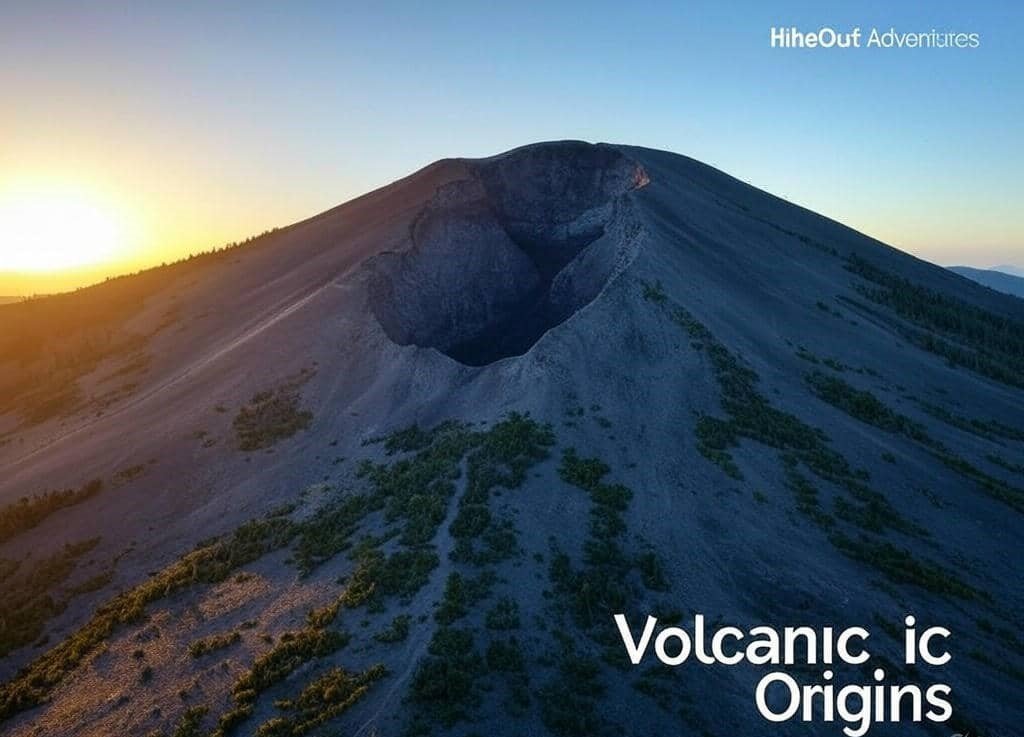
{Once standing 16,000 feet tall, this dormant volcano was reshaped by a massive prehistoric landslide}.
As you stand atop Arizona’s highest mountain at 12,633 feet of elevation, it’s humbling to consider the geological forces that shaped this magnificent landmark. The prominence of 6,039 feet makes it stand out dramatically from the surrounding landscape.
Weather Patterns To Watch
Before embarking on your journey to Humphreys Peak, understanding the climate is crucial for safety:
- The mountain experiences a dry-summer subarctic climate (Köppen classification Dsc).
- Summit areas have a tundra climate (ET)
- Lower elevations feature a Hemiboreal climate (Dsb) or warm dry-summer Mediterranean climate (Csb)
- For approximately six months of the year, temperatures hover below 32°F
- Even in July, temperatures rarely exceed 50°F at the summit
- The low dew point and high elevation create perfect conditions for lightning strikes during summer
Above the treeline, hikers are exposed to steep rocks and sudden changes in weather. This can be dangerous – in 2016, a 17-year-old hiker was killed by a lightning strike near the top.
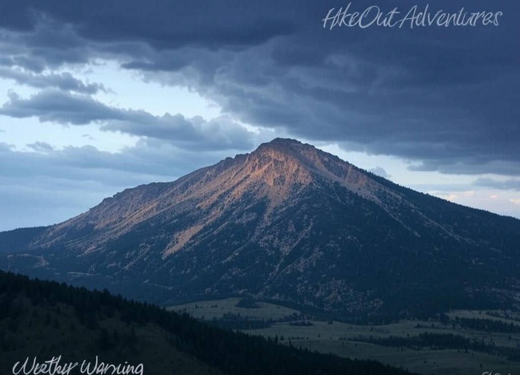
{Afternoon thunderstorms can develop rapidly above treeline, creating deadly lightning danger}.
I’ve hiked this peak twice, and the difference between morning and afternoon conditions was striking. My advice: start early and watch the sky carefully for building clouds.
Recreation Opportunities
Arizona Snowbowl, a popular ski resort with 8 lifts and 55 ski runs, operates on the western slope of Mount Humphrey. With a 2,300 feet vertical drop, it offers excellent winter recreation just off US 180.
The trail to the summit is most popular in summer when there’s no snow, but be prepared for a strenuous, steep hike. During winter, there’s significant avalanche risk and blizzards can develop quickly.
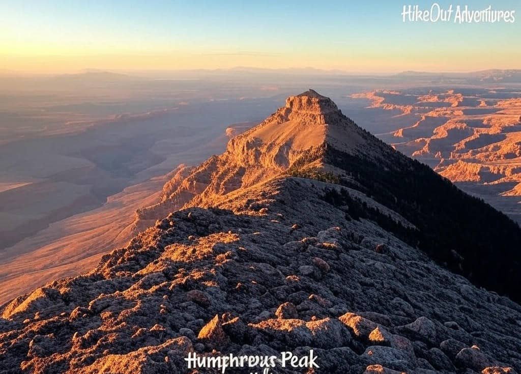
{On clear days, hikers are rewarded with views stretching over 100 miles to the Grand Canyon}.
The complete journey covers 9 miles roundtrip with approximately 3400 feet of elevation gain. From the trailhead, you’ll pass through dense forest before emerging above the tree-line into an alpine environment.
On a clear day, the 360 degree views from the summit are truly spectacular. Look north to see the Grand Canyon in the distance and south toward Flagstaff. I remember the first time I reached the summit – the vastness of northern Arizona stretched before me, making every challenging step worthwhile.
Planning Your Humphreys Peak Adventure
If you’re traveling from out of town to tackle Humphreys Peak, I recommend staying in Flagstaff for at least a night before your hike to help acclimate to the elevation. “”Booking.com”” offers numerous accommodations in downtown Flagstaff, just 14.5 miles from the trailhead, with options ranging from budget-friendly motels to comfortable lodges that cater specifically to hikers. We may earn a small commission if you click these links, at no extra cost to you.
For the full northern Arizona experience, consider renting a car through “”DiscoverCars”” to easily access both the Humphreys Peak trailhead and other nearby attractions like the Grand Canyon. Having your own transportation is essential for early morning starts and flexibility with changing mountain weather conditions.
Historical Significance
Few hikers realize they’re stepping through history when climbing Humphreys Peak. Named after Andrew A. Humphreys, a U.S. Army officer and Union general during the American Civil War who later served as Chief of Engineers for the United States Army Corps of Engineers, the mountain has gone through several name changes.
Originally called San Francisco Peak, the United States Board on Geographic Names officially adopted “Humphreys Peak” between 1870 and 1911, with final confirmation in 1933.
Indigenous peoples have revered this mountain for centuries. The peak is known as Aaloosaktukwi in Hopi and Doko’o’osliid in Navajo, holding deep cultural significance for Native communities throughout Coconino County.
Located within the Kachina Peaks Wilderness of Coconino National Forest, the peak sits approximately 245.85 miles of isolation from similar-sized mountains, making it a distinctly prominent feature in the San Francisco Peaks range of dormant volcanic peaks.

{Known as both Humphreys Peak and Doko’o’osliid, this mountain holds significance in multiple cultural traditions}.
Practical Hiking Advice
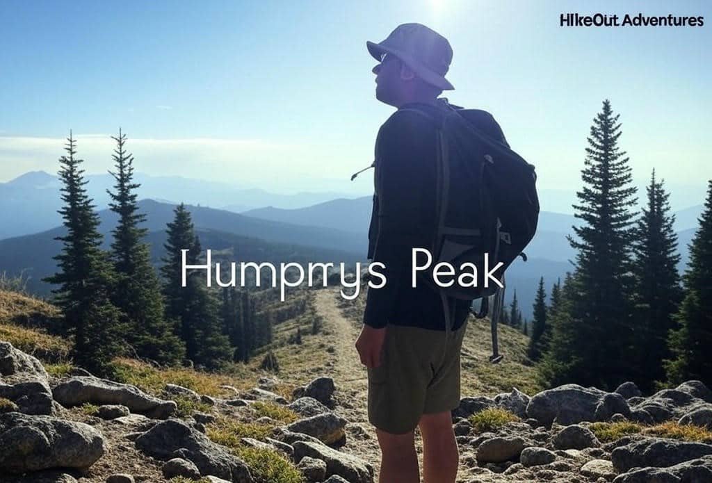
From my experiences on the mountain, I recommend starting your hike before sunrise. The strenuous nature of this 5-mile climb catches many beginners by surprise. You’ll begin in a beautiful flowery meadow near Arizona Snowbowl before ascending through forest and eventually above the tree line.
The entire journey typically takes 6-8 hours depending on your ability level. The 3,333 ft of climbing in thin air (starting at 9,200 ft) makes breathing difficult as you ascend. It’s perfectly normal to stop frequently to catch your breath.
Expert tip: Pack small, calorie-dense snacks you can eat while walking. This keeps your energy up without requiring long breaks that could expose you to changing weather conditions at higher elevations.
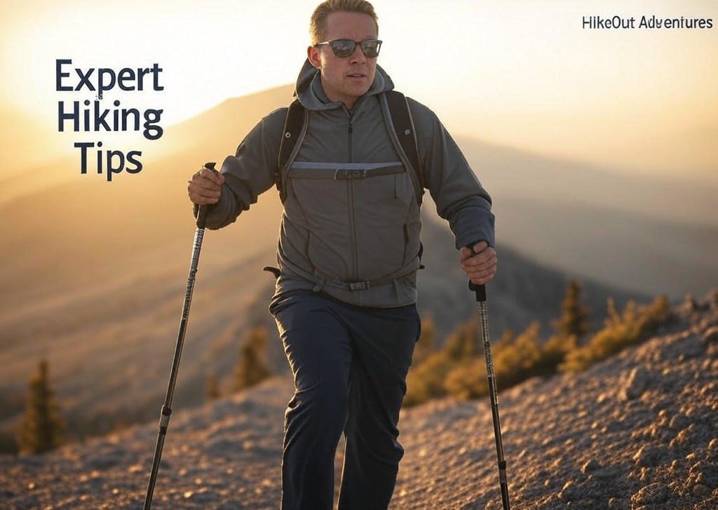
{Using trekking poles and dressing in layers can make the difference between summit success and failure}.
Trail Safety Guidelines:
- Always listen to your body and take training precautions seriously
- Watch for signs of acute mountain sickness (headache, nausea, dizziness)
- Be prepared to descend if symptoms develop
- Bring at least 2-3 liters of water per person
- Pack extra layers, even in summer
- Check weather forecasts the morning of your hike
The best times to attempt the summit are late spring and early Fall when weather conditions are most stable. Mountain conditions can change rapidly, bringing sudden rain storms and windy conditions that make hiking dangerous.
If camping above the tree line in winter, be sure to bring microspikes and adequate layers for windy, cold temps and potential snow. Remember that this mountain is sacred to several Native American tribes, so respect the land as locals do: pick up trash and leave no trace of your visit.
I’ll never forget watching the sunrise from halfway up the mountain, casting golden light across the volcanic landscape. That moment alone was worth the early wake-up and challenging climb.
Explore More Around Humphreys Peak
After conquering Arizona’s highest peak, there’s plenty more to discover in the area. Consider booking a guided tour of nearby attractions with “”GetYourGuide””, which offers expertly led excursions to places like the Grand Canyon, Sedona’s red rocks, and ancient Native American ruins – all providing fascinating contrast to your mountain adventure. We may earn a small commission if you click these links, at no extra cost to you.
For those seeking a more comprehensive Arizona adventure, “”G Adventures”” offers multi-day hiking tours that can include Humphreys Peak along with other spectacular southwestern landscapes, allowing you to experience multiple ecosystems with knowledgeable guides who handle all the logistics. We may earn a small commission if you click these links, at no extra cost to you.
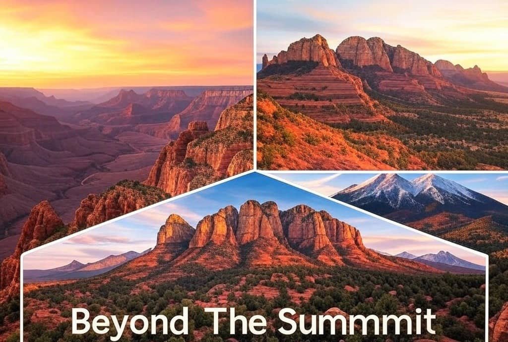
{ Northern Arizona offers countless natural wonders within short driving distance of the mountain}.
GPS Coordinates and Directions
Finding the Humphreys Trailhead is straightforward:
- Trailhead GPS: 35.3316° N, 111.7088° W
- Located approximately 14.5 miles northwest of downtown Flagstaff, AZ in the San Francisco Peaks
- Take US 180 north for about 7 miles
- Turn onto Snowbowl Road (FR 516) and continue for 7.4 miles until you reach Snowbowl
- The trailhead is located at the lower parking lot, specifically at the north end
- All routes to the trailhead are paved roads, making access easy for any vehicle
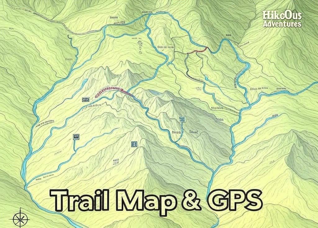
{ GPS coordinates and alternate routes help hikers find the best path to the summit}.
Hidden shortcut: If you’re an experienced hiker looking for a less crowded route, consider the Weatherford Trail from Schultz Pass Road. Though longer (about 21 miles roundtrip), it offers stunning views of the Inner Basin and fewer hikers.
♦ People Also Ask About Humphreys Peak ♦
How Long Does It Take To Hike Humphreys Peak?
Most hikers complete the Humphreys Peak trail in 6-8 hours roundtrip. Experienced hikers in excellent physical condition might finish in 5 hours, while those taking frequent breaks or hiking with children may need up to 10 hours. Always plan to be off the mountain before afternoon when thunderstorms are common.
Is Humphreys Peak Good For Beginners?
Humphreys Peak is not recommended for absolute beginners. While physically fit hikers with some hiking experience can successfully summit, the combination of high elevation, potential for rapid weather changes, and significant elevation gain (3,333 feet) creates challenges that require proper preparation and some hiking experience.
What Wildlife Might I See on Humphreys Peak?
Hikers on Humphreys Peak commonly encounter mule deer, golden-mantled ground squirrels, Clark’s nutcrackers, and various songbirds. Lucky observers might spot American black bears (from a distance), elk in meadow areas, and the rare American pika near rocky areas above treeline. The endangered San Francisco Peaks groundsel plant grows only on this mountain.

{Answers to the most frequently asked questions about tackling Arizona’s highest summit}.
What’s The Best Time Of Year To Hike Humphreys Peak?
The best months to hike Humphreys Peak are late June through early October. July and August offer the warmest conditions but come with afternoon thunderstorm risks. Early summer features wildflowers, while late September brings beautiful fall colors. Winter hiking (November-May) requires advanced mountaineering skills and equipment due to snow and extreme conditions.
Do I Need A Permit To Hike Humphreys Peak?
No permit is required for day hiking Humphreys Peak. However, if planning to camp in the Kachina Peaks Wilderness, you’ll need to follow wilderness camping regulations and practice Leave No Trace principles. The trail is within Coconino National Forest, which occasionally implements fire restrictions or trail closures depending on conditions.
Can You See The Grand Canyon From Humphreys Peak?
Yes, on clear days you can see the Grand Canyon from Humphreys Peak summit, about 65 miles to the north. The panoramic views from Arizona’s highest point also include the Painted Desert to the northeast, the Verde Valley to the south, and the San Francisco Volcanic Field with its cinder cones surrounding the mountain.
Is Humphreys Peak Dangerous in Winter?
Yes, Humphreys Peak becomes significantly more dangerous in winter months. Risks include deep snow requiring snowshoes, extreme cold temperatures (often below 0°F), high winds exceeding 50 mph, avalanche danger, and whiteout conditions. Winter ascents should only be attempted by experienced mountaineers with proper equipment and avalanche training.
How Do I Prepare for Altitude Sickness on Humphreys Peak?
To minimize altitude sickness risk on Humphreys Peak:
- Stay hydrated – drink plenty of water before and during your hike
- Acclimate by spending a night in Flagstaff (7,000 ft) before hiking
- Ascend slowly, using a steady pace with regular breathing
- Consider taking Acetazolamide (Diamox) after consulting your doctor
- Descend immediately if experiencing severe headache, nausea, or confusion
Related Arizona Adventures
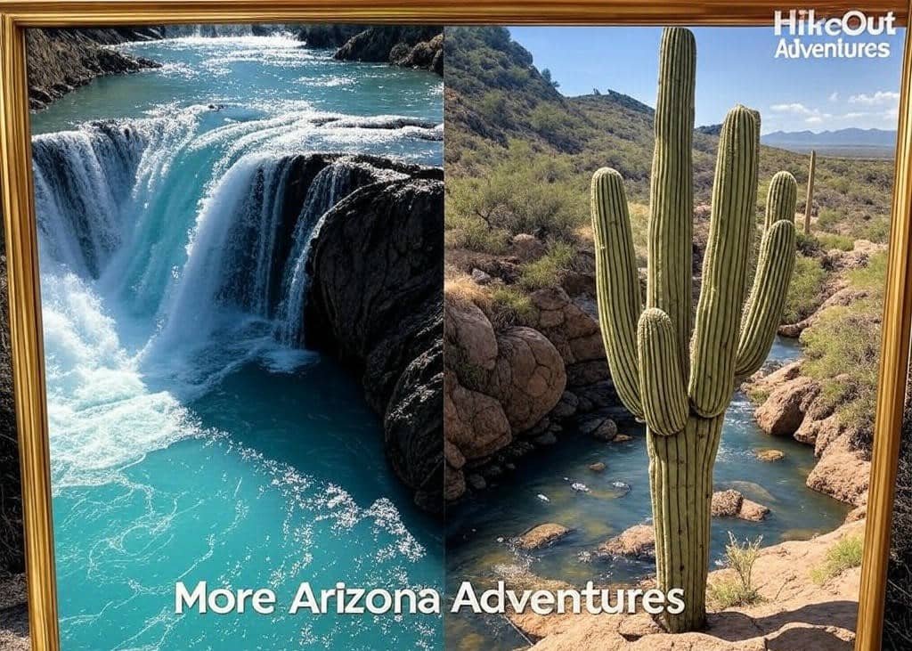
{ Experience Arizona’s incredible diversity from alpine summits to desert landscapes and turquoise waterfalls}.
If you’re exploring Arizona’s natural wonders, don’t miss these other incredible hiking experiences:
- “Unlock Beaver Falls: Havasupai Hiking Guide” – Discover the stunning turquoise waters of Beaver Falls on the Havasupai Reservation, a perfect complement to your high-altitude adventures.
- “Crest Quest: The Shocking Hunt for Rare Saguaros in Arizona!” – After conquering Arizona’s highest peak, search for its most unique desert inhabitants – the rare crested saguaro cacti.
Essential Resources for Humphreys Peak Hikers
{Access real-time trail conditions, weather forecasts, and local expertise before your adventure}.
Expert-Recommended Tools & Information;
- “Coconino National Forest – Humphreys Peak Trail” – The official Forest Service page provides critical updates on trail conditions, closures, and permit requirements you won’t find elsewhere.
- “National Weather Service – Mountain Point Forecast” – Access detailed elevation-specific weather forecasts for Humphreys Peak, crucial for avoiding dangerous afternoon thunderstorms and sudden temperature drops.
- “HikeArizona’s Humphreys Peak Guide” – Local experts share seasonal hiking strategies, current trail reports, and detailed route descriptions with photographs of key trail junctions and potential navigation challenges.